
3D Building & City Modeling
Digital twins of cities
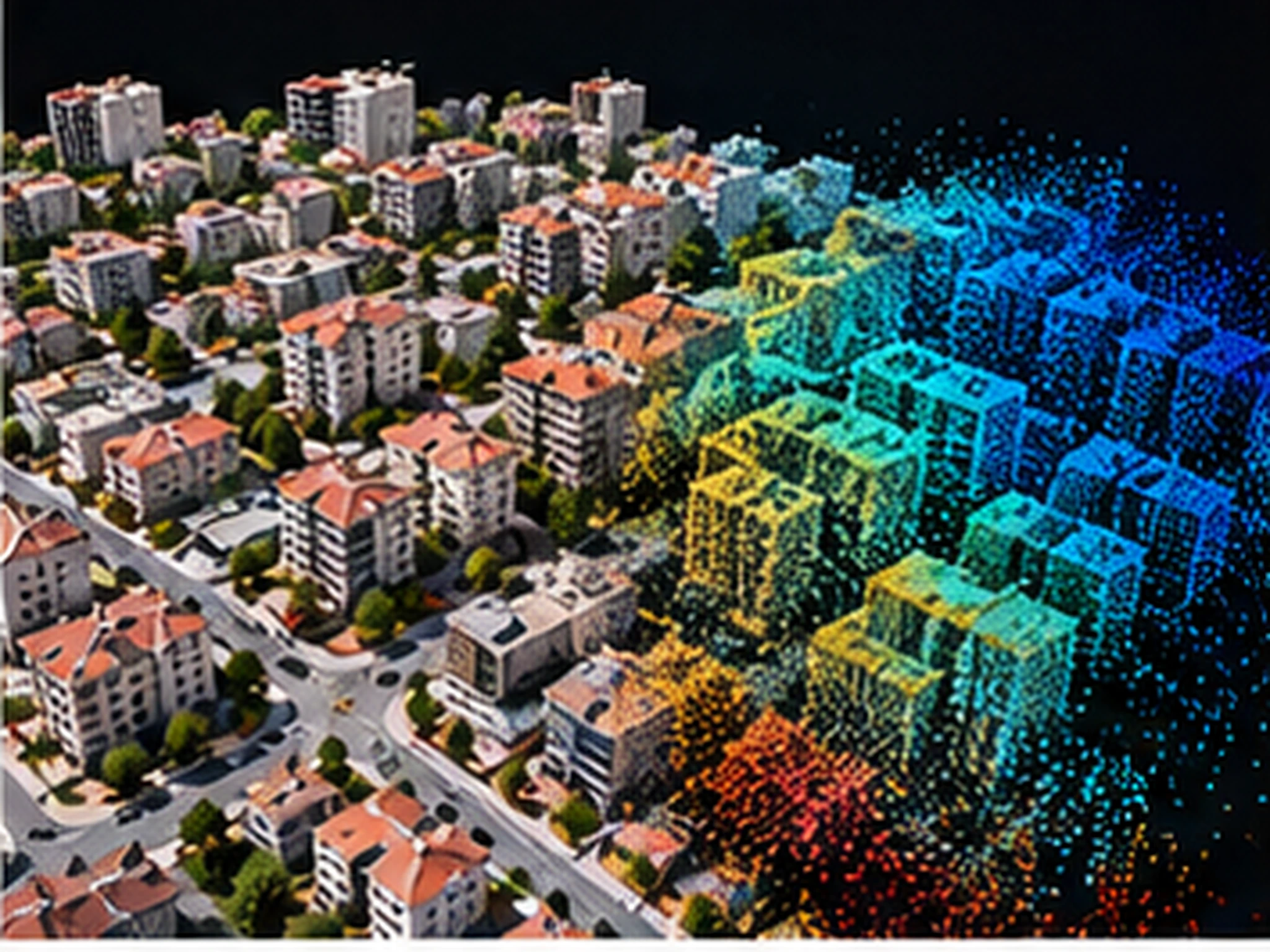
We produce LOD-level building and city models and photorealistic meshes from aerial photography, UAV and satellite data — analysis-ready input for urban simulation and planning.
We produce LOD1–LOD3 building and city models and photorealistic 3D meshes from aerial photography, UAV and satellite data — deriving clean, topologically sound models in true coordinate systems from dense point clouds.
Models are delivered in CityGML and common GIS formats, ready for urban planning, viewshed-insolation-noise analyses and digital twin applications. On request we also set up web-based 3D visualization and publishing.
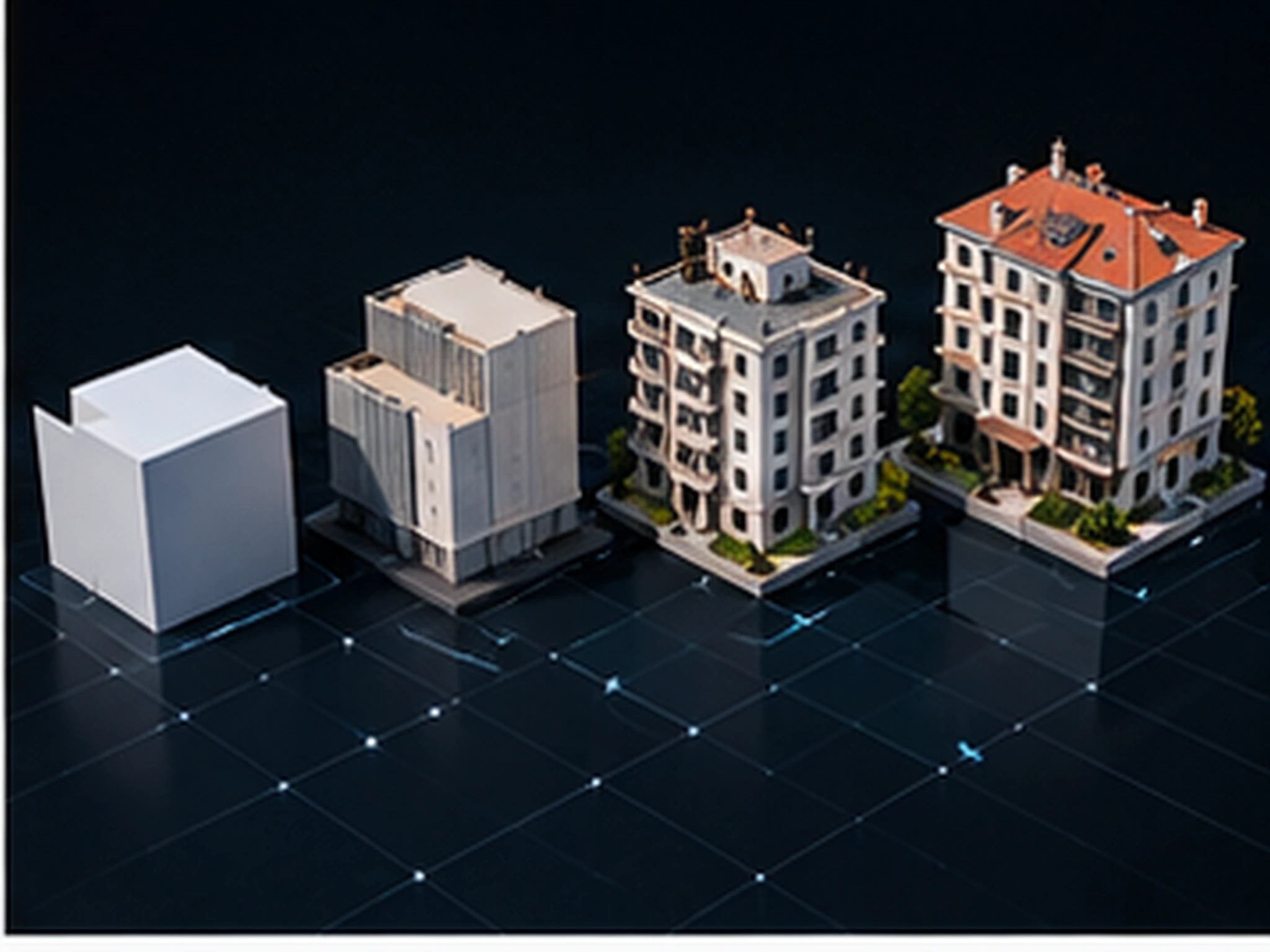
Scope & deliverables
- LOD1–LOD3 building and block modeling
- Photorealistic 3D mesh and texture production
- CityGML-compliant city model outputs
- Shadow, viewshed and insolation analyses
- 3D model quality control and updating
- Publishing 3D models on the web
Other services
Planning a project?
Briefly share your flight area, target accuracy and desired delivery formats — we'll prepare a tailored quote. You can also write to us about software licensing, training or technical support.