
Geographic Information Systems
Spatial decision support
We build GIS solutions that consolidate your organization's spatial data into a central structure and strengthen analysis, querying and decision-making.
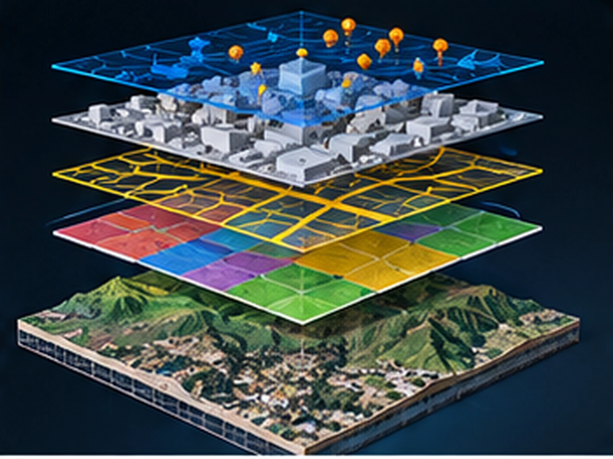
We build every layer of GIS: geodatabase design, topology and validation rules, service publishing (WMS/WFS/OGC API) and in-house sharing infrastructure. The data model is designed around your organization's workflow and public-sector standards.
After implementation, training and consulting keep the system sustainable inside your organization. With two decades of public-sector project experience, we also stand by you through tenders and technical specification processes.
Scope & deliverables
- Geodatabase design and implementation
- Spatial analysis and modeling
- Web-based mapping applications
- Data capture, conversion and integration
- Enterprise GIS consulting and training
Other services
Planning a project?
Briefly share your flight area, target accuracy and desired delivery formats — we'll prepare a tailored quote. You can also write to us about software licensing, training or technical support.