Remote Sensing
From imagery to insight
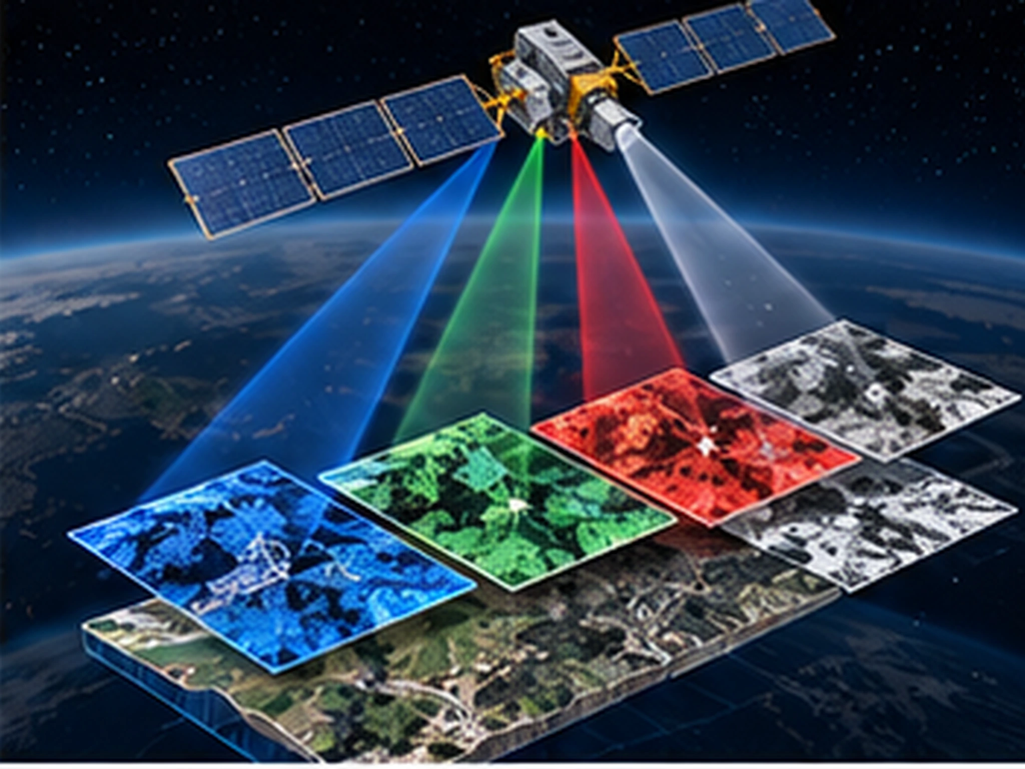
We process multispectral imagery from satellite and airborne platforms into land-cover, change and risk intelligence.
We process multispectral imagery from satellite and airborne platforms into land-cover, change and risk intelligence — managing the whole chain end to end: imagery procurement, geometric and radiometric preprocessing, classification and accuracy assessment.
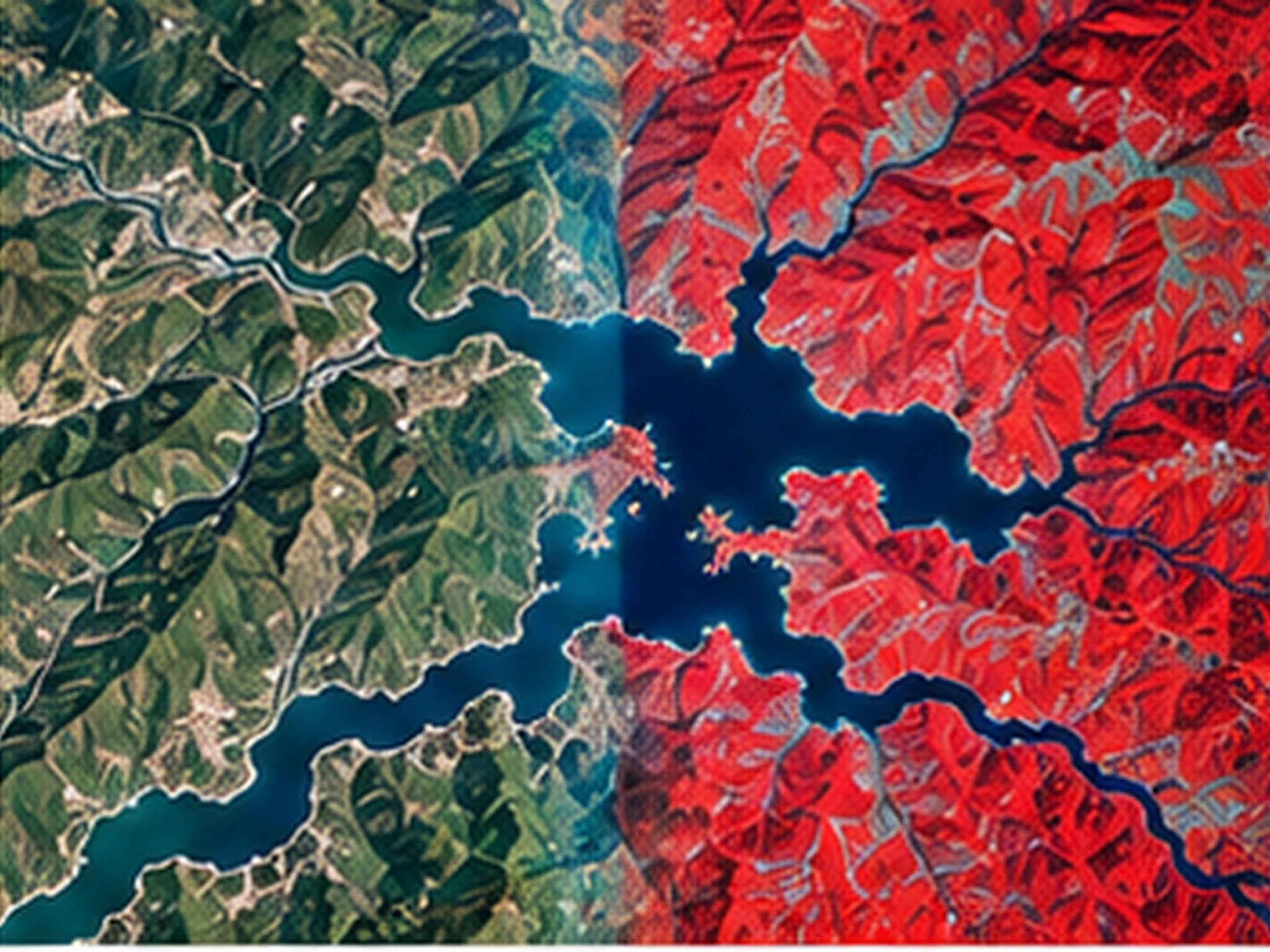
Time-series land-change analyses and vegetation/agricultural analytics answer your monitoring needs. Outputs are delivered as reports, map layers or data integrated directly into your enterprise GIS.
Scope & deliverables
- Multispectral and hyperspectral image processing
- Land cover / land use classification
- Multi-date land-change analysis
- Vegetation and agricultural analysis
- Satellite imagery procurement and preprocessing
Other services
Planning a project?
Briefly share your flight area, target accuracy and desired delivery formats — we'll prepare a tailored quote. You can also write to us about software licensing, training or technical support.