
GeoAI — AI-Assisted Analytics
AI that reads imagery
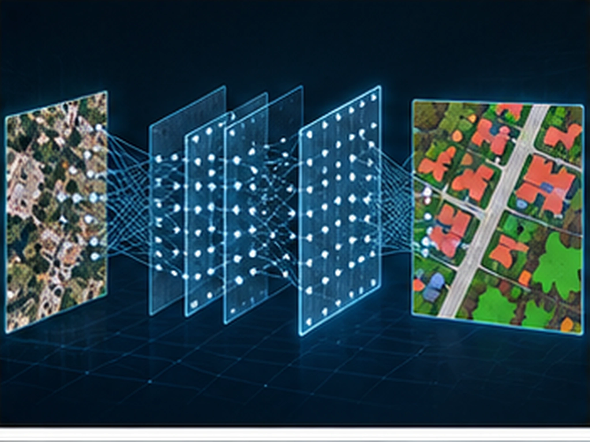
We read satellite, aerial and UAV imagery with AI and object-based analysis — automatically extracting features such as buildings, roads, vegetation and change, delivered with human-verified quality control.
We use object-based image analysis (OBIA) and deep-learning methods to automatically locate target features in large volumes of imagery and point clouds. Buildings, roads, vegetation and infrastructure elements are extracted by models instead of manual inspection.
Every output passes human-verified quality control: model suggestions are reviewed against field-tested production experience and confidence scores are reported. The approach produces fast, repeatable results over large areas — especially effective for change detection and continuous monitoring projects.
Scope & deliverables
- Object-based image analysis (OBIA) and deep-learning classification
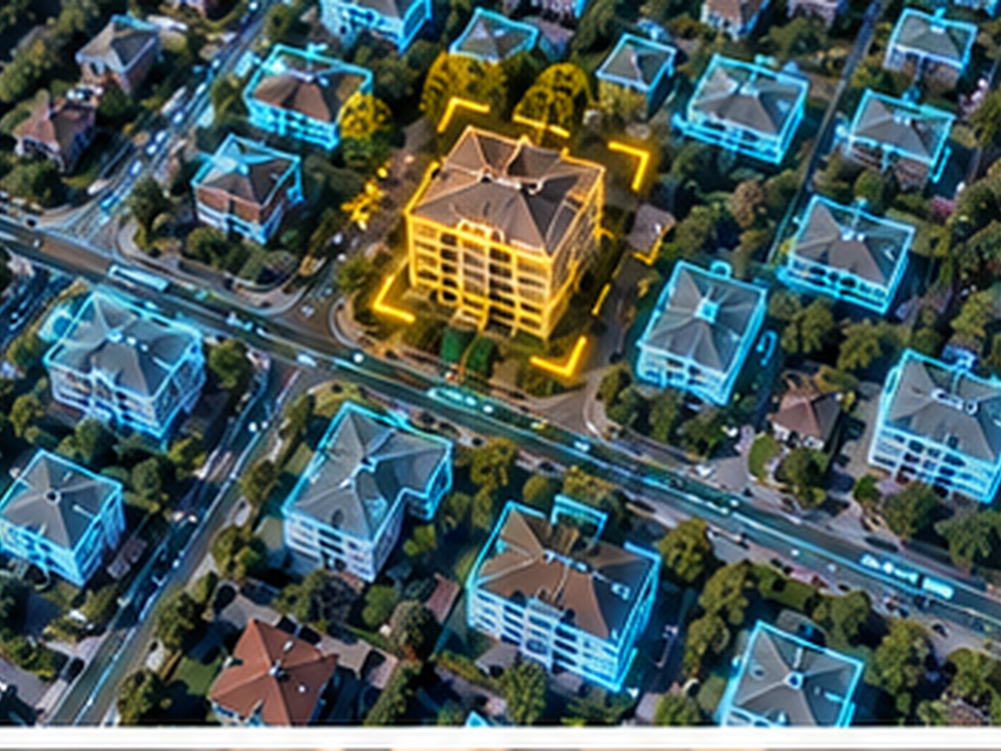
- Automated extraction of buildings, roads and infrastructure features
- Point-cloud classification and dense-matching outputs
- Automated change detection and continuous area monitoring
- Scalable processing of large raster and vector datasets
- Human-verified quality control for reliable outputs
Other services
Planning a project?
Briefly share your flight area, target accuracy and desired delivery formats — we'll prepare a tailored quote. You can also write to us about software licensing, training or technical support.