
CAD/GIS Development & Data Automation
Supercharge your tools
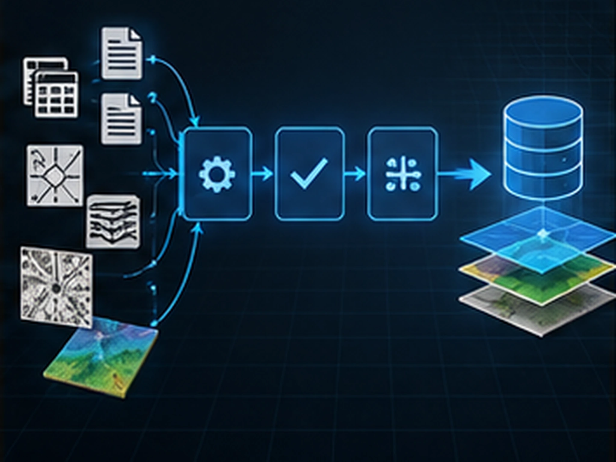
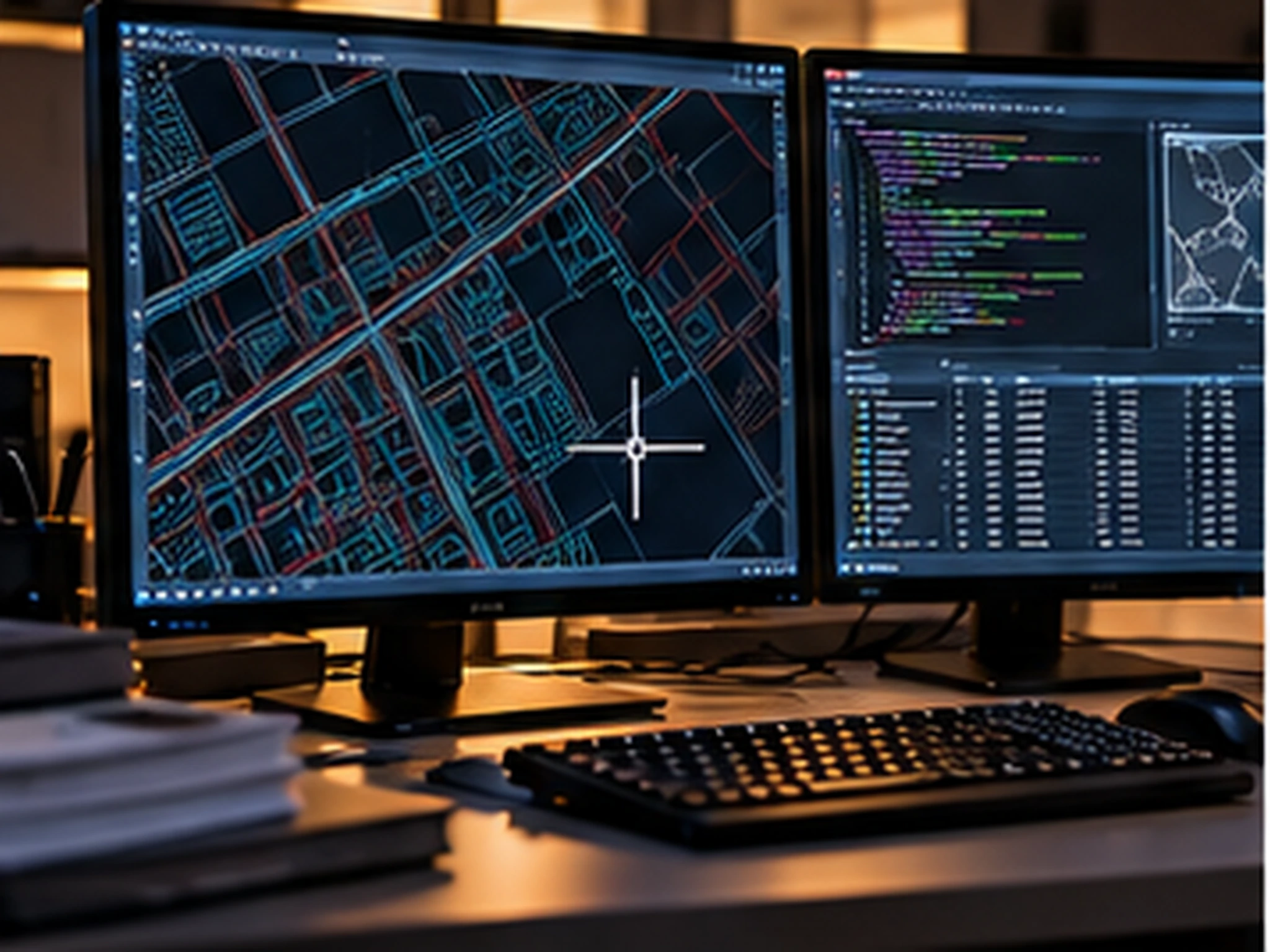
We develop custom modules, plug-ins and scripts for the CAD and GIS software you already use, and automate repetitive production work with ETL pipelines that normalize spatial data from disparate sources.
We develop custom modules, plug-ins and scripts for the CAD and GIS software you already use; helper utilities that automate repetitive tasks in stereoscopic mapping environments measurably increase production speed.
On the data side, we normalize spatial data from disparate sources with FME and open-source ETL pipelines, automating conversion, validation and delivery. Scheduled synchronization and automated reporting keep the data flow running uninterrupted.
Scope & deliverables
- Custom plug-ins and tools for your production environment
- Stereoscopic mapping and topography helper utilities
- Batch data processing scripts and workflow automation
- FME and open-source ETL workflows
- Automatic format conversion, validation and synchronization
- Quality control and automated reporting
Other services
Planning a project?
Briefly share your flight area, target accuracy and desired delivery formats — we'll prepare a tailored quote. You can also write to us about software licensing, training or technical support.