Photogrammetric Production
Precision from the air
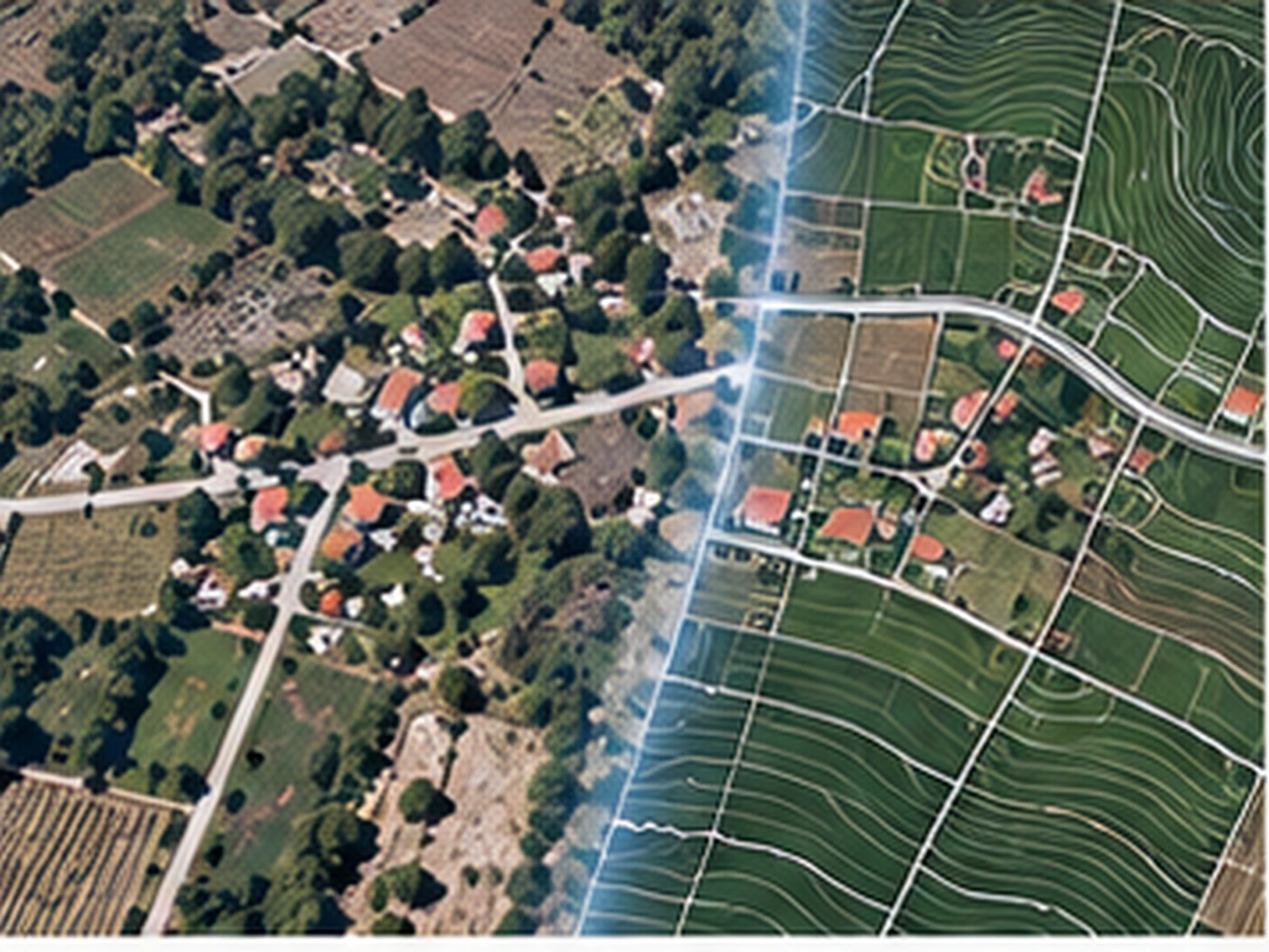
We produce survey-grade orthophotos, digital terrain and surface models, and vector maps from aerial photography and UAV imagery.
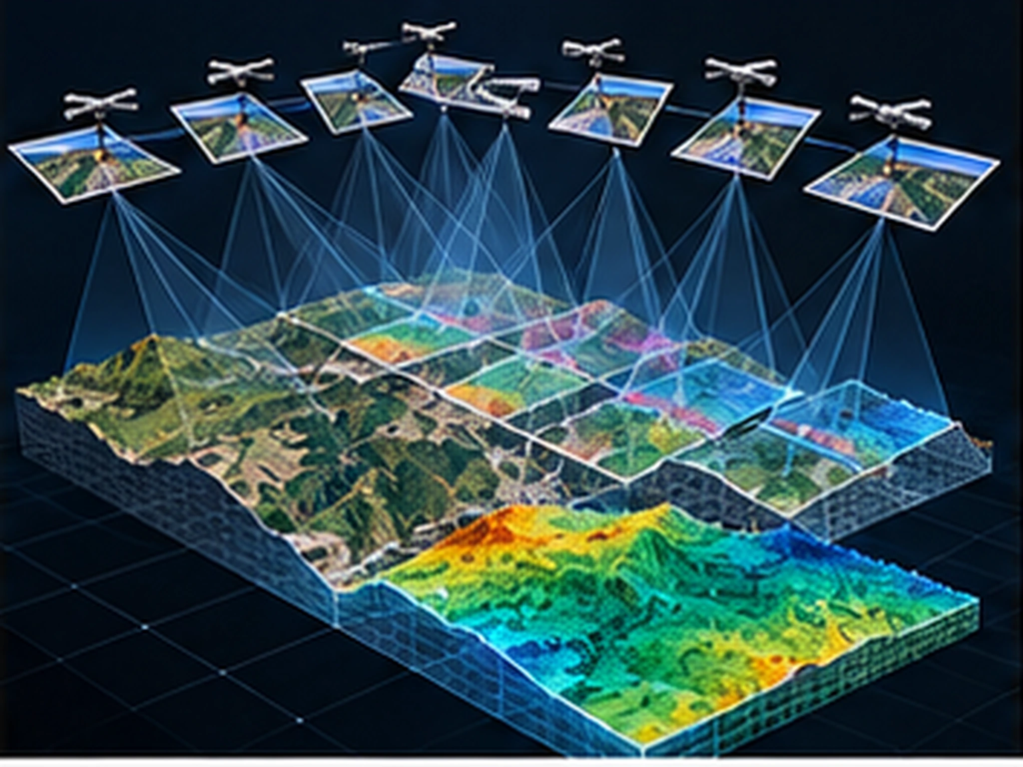
We turn aerial photography, UAV and satellite imagery into survey-grade mapping products. Production runs on the Trimble Inpho pipeline: aerial triangulation and block adjustment, dense matching, DTM/DSM generation, orthophoto production and vector feature capture.
We take on work at any scale — from parcel-level surveys to basin- and province-wide productions covering thousands of square kilometers. Every delivery is documented with quality control reports; block adjustment statistics, accuracy analyses and production logs are a natural part of the delivery package.
Scope & deliverables
- Aerial triangulation and block adjustment
- Orthophoto and true-orthophoto production
- Digital terrain (DTM) and surface (DSM) modeling
- Stereoscopic mapping and vector data production
- 3D city models and photorealistic meshes
- Forest maps
Other services
Planning a project?
Briefly share your flight area, target accuracy and desired delivery formats — we'll prepare a tailored quote. You can also write to us about software licensing, training or technical support.